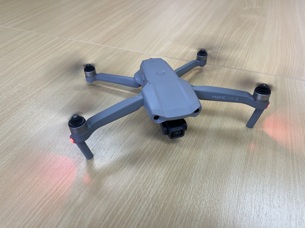
Drone Survey
Drone surveying by GATS can provide rapid and accurate assessment. For large-scale survey, it isn’t possible to see all areas of damage. Therefore, it is no longer limited by unreachable areas or dangerous slopes for drone survey service.
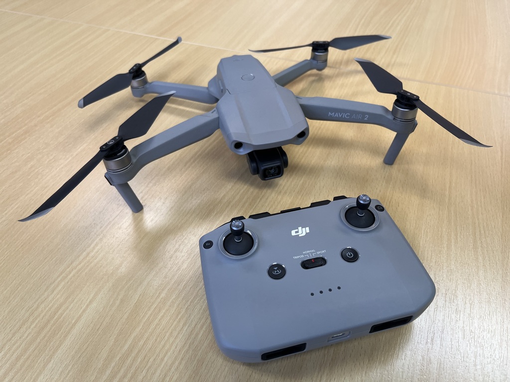
Key Features:
- GATS are fully licensed, insured and registered with CAAT and the NBTC to fly a drone for the purpose of photography and videography in Thailand.
- High resolution 48 Mega Pixel Photographs.
- High resolution Smooth 4K/60fps Video.
- Video transmission distance of up to 10 km and delivery of 1080p FHD resolution livestream directly from the drone’s camera.
- Enhanced HDR for photographs, video and panorama.
- Safety and smart features (APAS 3.0) for obstacle avoidance.